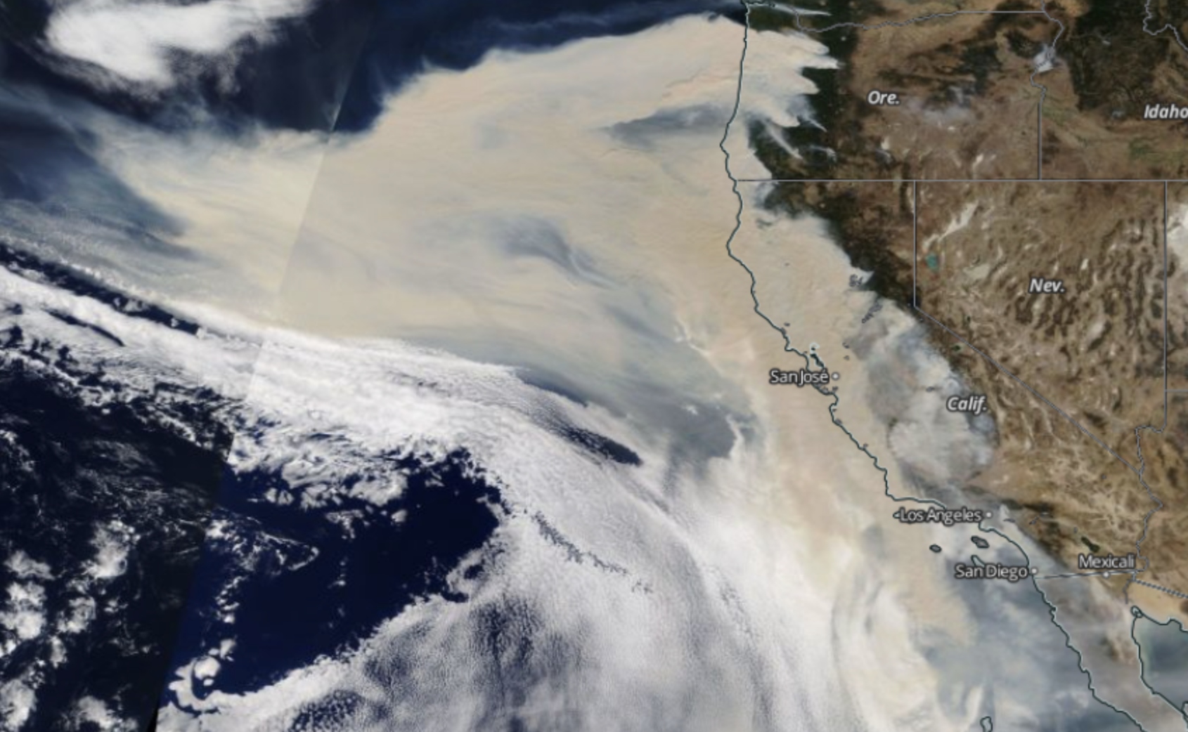
California Smoke
&& [ other ] && 0 comments
Posting these here so I can look back in the future to remember when the forest fires started getting really bad.

The view at about 3:30 PM PST from the ocean.
A video I took this picture on my life.